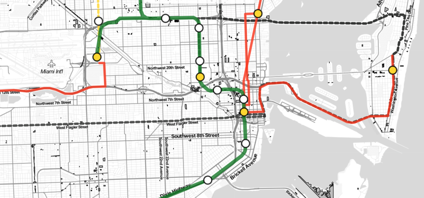
The Land Access Neighborhood Development (LAND) mapping tool visualizes the distribution of local institutional and government-owned vacant, as well as underused properties. Developed by the University of Miami’s Office of Civic and Community Engagement, in collaboration with the UM Institute for Data Science and Computing, and with support from Citi Community Development, LAND enables policymakers and community-based organizations to identify potential development opportunities for affordable housing in transit-served areas and other uses that benefit the community.


